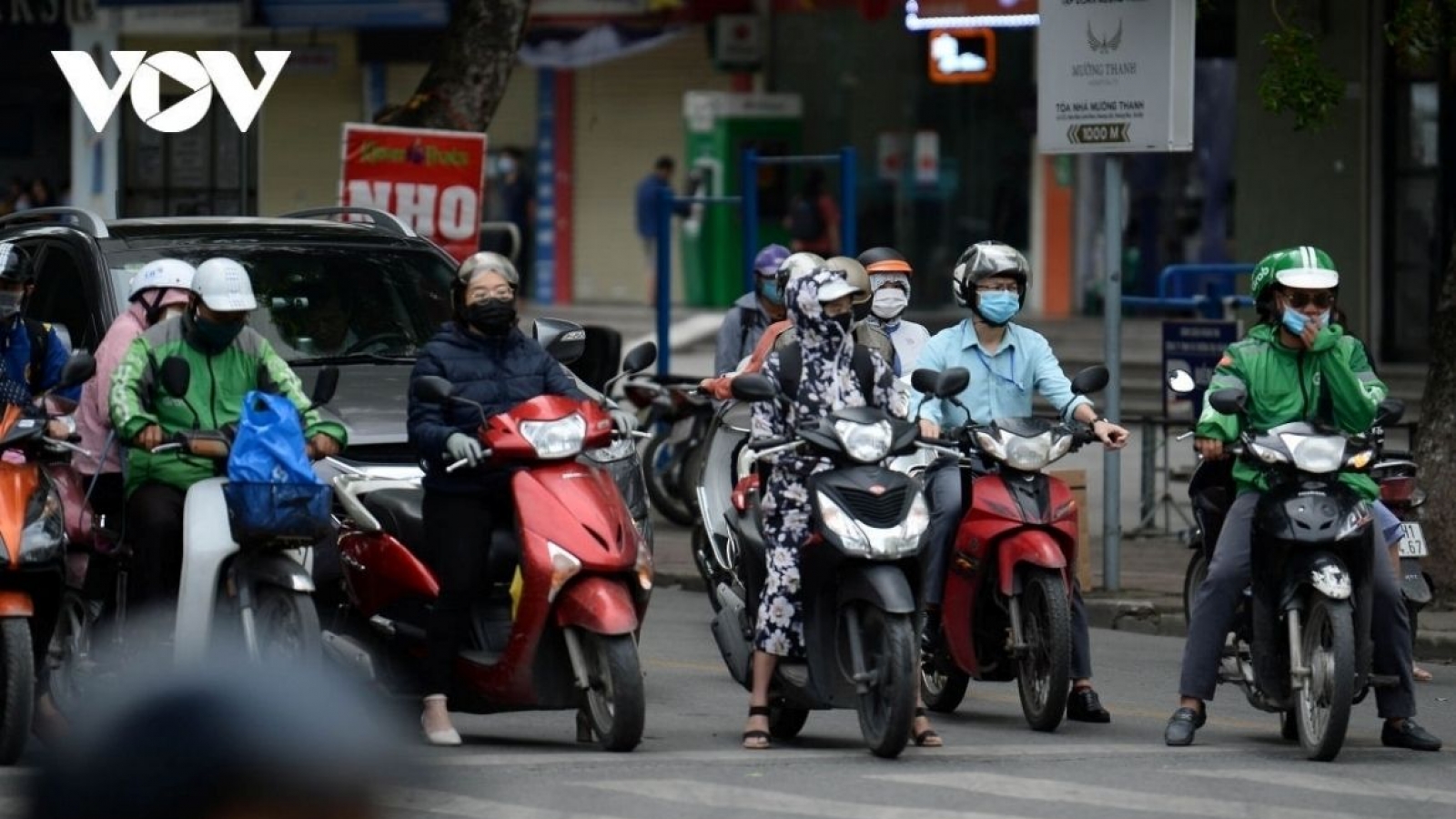


Cold air mass strengthens, northern Vietnam turns cooler

VOV.VN - A strengthening cold air mass will keep northern Vietnam cool with showers and thunderstorms on September 10-11, while heavy rain from Thanh Hoa to Hue is raising the risk of urban flooding, flash floods and landslides.
Northern Vietnam turns cooler as temperatures fall

According to the National Centre for Hydro-Meteorological Forecasting, the cold air mass began affecting northern Vietnam in the early hours of September 10 and spread to the midland and delta areas of northern Vietnam and the north-central region by midday and afternoon.
The cold air mass is expected to strengthen through the night of September 10 and September 11. As the first cold air mass of the 2026-2027 winter season takes hold, temperatures in northern Vietnam and the north-central region will turn cooler, with lows generally ranging from 21 to 24°C. Temperatures in some high mountain areas in the north may fall below 19°C.
In Hanoi, cooler weather began on September 10, accompanied by rain, showers and scattered thunderstorms, with locally heavy rain possible. People are advised to watch out for lightning and strong gusts during thunderstorms.
The cold air mass is the first of the 2026-2027 winter season, arriving about three to five days earlier than the long-term average. Although it is not particularly strong, it has brought a noticeable change in northern Vietnam after several days of relatively high temperatures. The first cold spell typically arrives between mid-September and early October.
Central Vietnam faces heavy rain
At the same time, a tropical convergence zone over central Vietnam is contributing to increased rainfall.
From September 10-11, areas from Thanh Hoa to Hue are forecast to receive moderate to heavy rain, with locally very heavy rain. Rainfall is expected to total 40-100mm, with some areas receiving more than 150mm.
From around September 12 to 17, moderate to heavy rain is likely to continue across large parts of central Vietnam. Prolonged heavy rain could increase the risk of flooding in urban and low-lying areas, as well as flash floods and landslides in mountainous areas.
According to the National Centre for Hydro-Meteorological Forecasting, scattered showers and thunderstorms had already appeared in northern Vietnam from the afternoon of September 9, with locally heavy rain.
“From September 10, areas from Thanh Hoa to Hue will see moderate to heavy rain as the cold air mass interacts with the tropical convergence zone. The rainfall could persist and gradually spread southward in the coming days,” said forecasting expert Le Thi Hong Van.
Strong winds and rough seas
The cold air mass will also strengthen winds at sea. From September 10, northeast winds are set to pick up in the Gulf of Tonkin.
From the night of September 10, the Gulf of Tonkin and the northern waters of the East Sea are forecast to experience strong northeast winds of around 40-60 km/h, with gusts of 60-75 km/h, producing waves 2-3m high and rough seas.
Vessels operating at sea should closely monitor developments in strong winds and high waves and follow maritime weather warnings to ensure safety.
Of particular concern, a low-pressure area is developing over the East Sea and could strengthen into a tropical depression and potentially a storm in the coming days. The system, combined with the cold air mass and tropical convergence zone, could further affect rainfall in central Vietnam.
As the cold air mass strengthens and a tropical storm is likely to form in a couple of days, widespread heavy rain could continue in central Vietnam, bringing increased risks of flooding, flash floods and landslides.
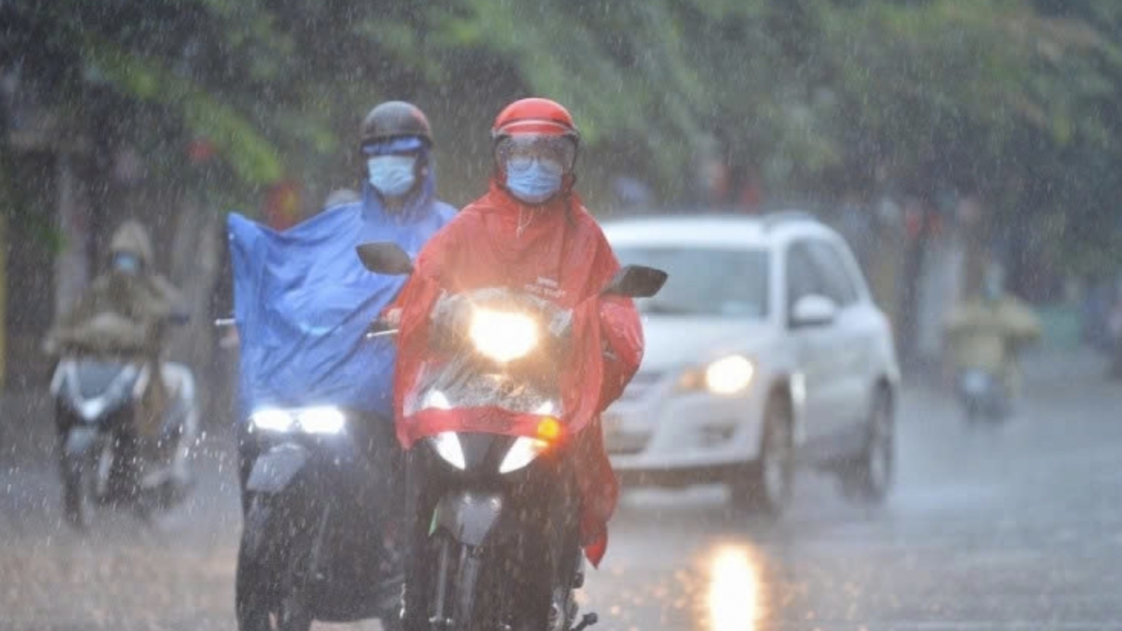
First cold air wave to hit northern Vietnam, bringing cooler weather from tonight
VOV.VN - A cold mass is moving southward, bringing scattered showers and thunderstorms to northern Vietnam, where temperatures early on September 9 ranged between 26°C and 29°C.