

Tropical depression heads toward Gulf of Tonkin, may strengthen

VOV.VN - A tropical depression east of China’s Hainan Island is moving westward at 5-10 km/h and could gain force as it heads toward the eastern Gulf of Tonkin, according to the National Centre for Hydro-meteorological Forecasting.
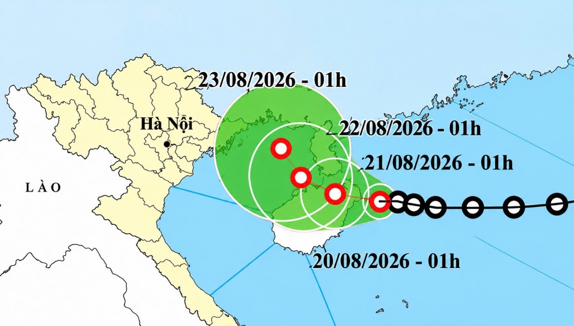
At 7a.m. on August 20, the tropical depression was located just a few dozen kilometers east of Hainan Island, with maximum sustained winds of 39-49 km/h and gusts of around 60 km/h. It was moving westward at 5-10 km/h, significantly slower than the previous day.
Over the next 24 hours, the system is forecast to continue moving westward over northern Hainan Island. By the morning of August 22, it is expected to turn west-northwest and move at around 5 km/h toward the waters east of the Gulf of Tonkin. Its winds could strengthen to 39-61 km/h, with gusts of up to 75-90 km/h.
Over the following 48-72 hours, the tropical depression is forecast to continue moving west-northwest at only 3-5 km/h.
The slow movement of the system is an important concern alongside its potential intensification. As it approaches the Gulf of Tonkin, the eastern part of the gulf could see winds of 39-61 km/h, gusting to around 75-90 km/h, with waves of 2-3 meters and rough seas.
Vessels operating in the affected area could face thunderstorms, waterspouts, strong winds and high waves.
As the tropical depression moves closer to the Gulf of Tonkin, heavy rain on land remains a major concern.
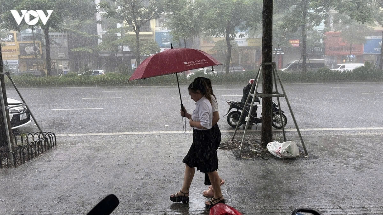
On August 20, northern Vietnam will experience scattered showers and thunderstorms, with isolated areas receiving heavy rain. The Red River Delta and Phu Tho province in the midland region are expected to see moderate to heavy rain, with some areas receiving very heavy rain.
From the night of August 20 through August 21, heavier rainfall is expected to become more concentrated in coastal areas of northern Vietnam.
Areas from Thanh Hoa to Quang Tri further south will also continue to experience moderate to heavy rain and thunderstorms, with some places potentially receiving very heavy rain. Residents should be alert to thunderstorms, lightning and strong gusty winds.
In Hanoi, moderate to heavy rain and thunderstorms are forecast during the day and night of August 20, with isolated areas potentially receiving heavy rain. Temperatures are expected to reach 30-32°C.
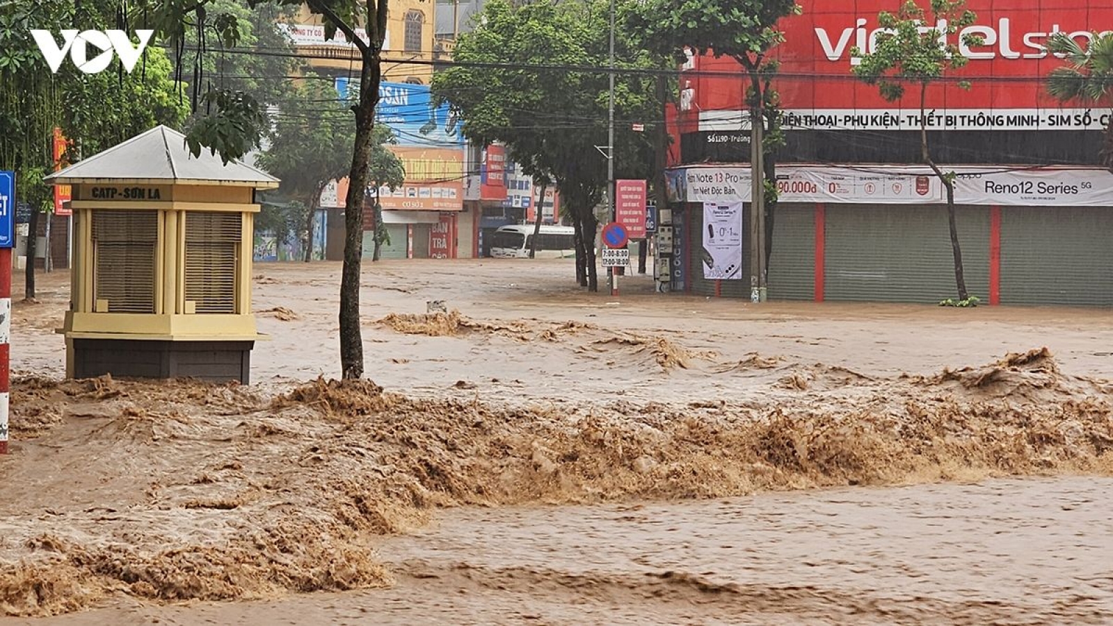
Over the past days, heavy rain has left soils in parts of northern and north-central regions close to saturation, increasing the risk of flash floods, landslides and ground subsidence on steep slopes and near small streams.
With the tropical depression moving toward the eastern Gulf of Tonkin and potentially strengthening, coastal and mountainous areas, as well as places that have already experienced prolonged heavy rain, should closely monitor weather warnings, particularly those related to strong winds at sea, heavy rain, flash floods and landslides.
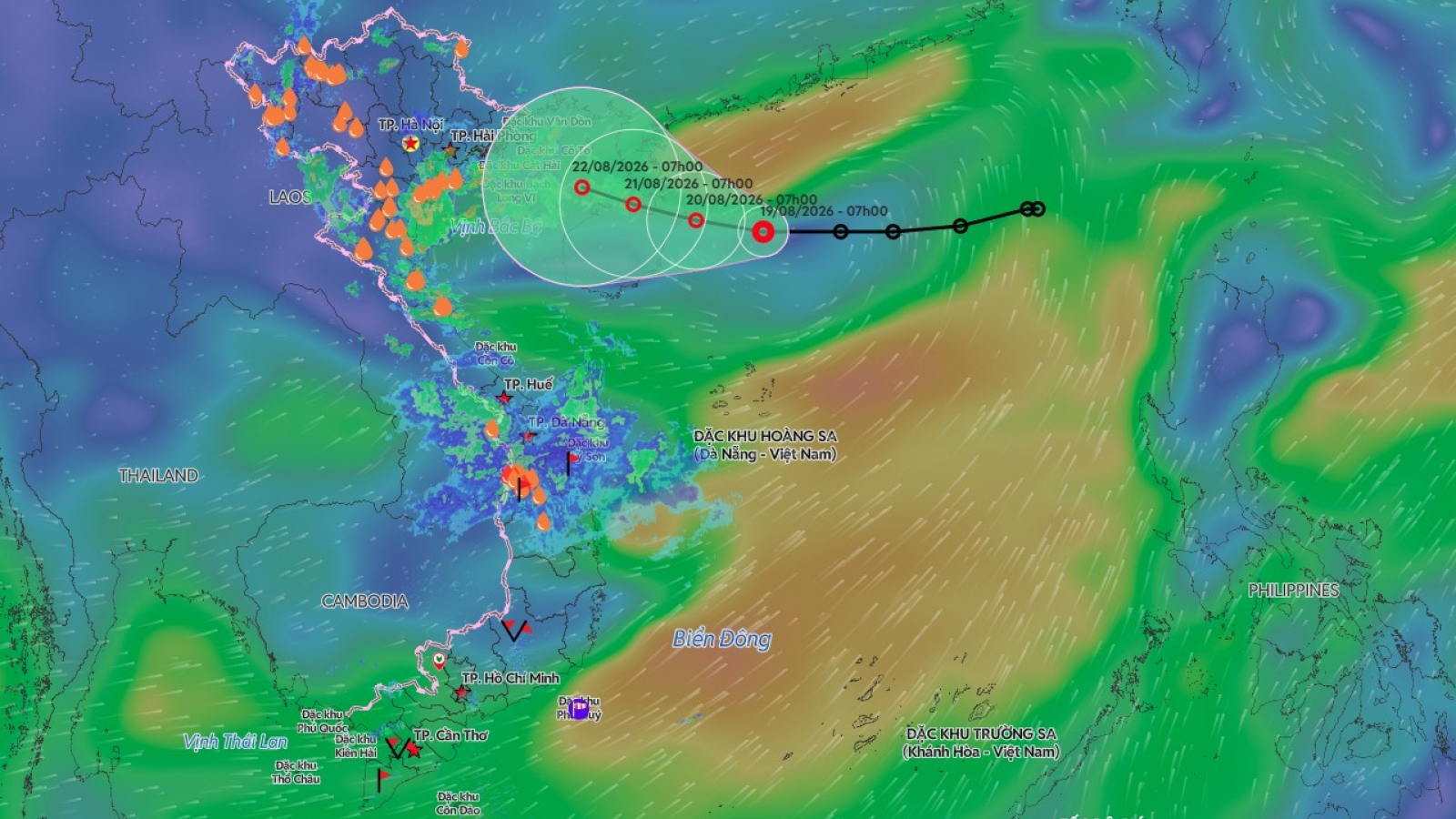
Tropical depression forms over East Sea, northern Vietnam faces heavy rain
VOV.VN - A tropical depression is developing over the East Sea as the northern and north-central regions continue to experience widespread heavy rain, increasing the risks of flooding, flash floods and landslides.