

Tropical depression forms over East Sea, northern Vietnam faces heavy rain

VOV.VN - A tropical depression is developing over the East Sea as the northern and north-central regions continue to experience widespread heavy rain, increasing the risks of flooding, flash floods and landslides.
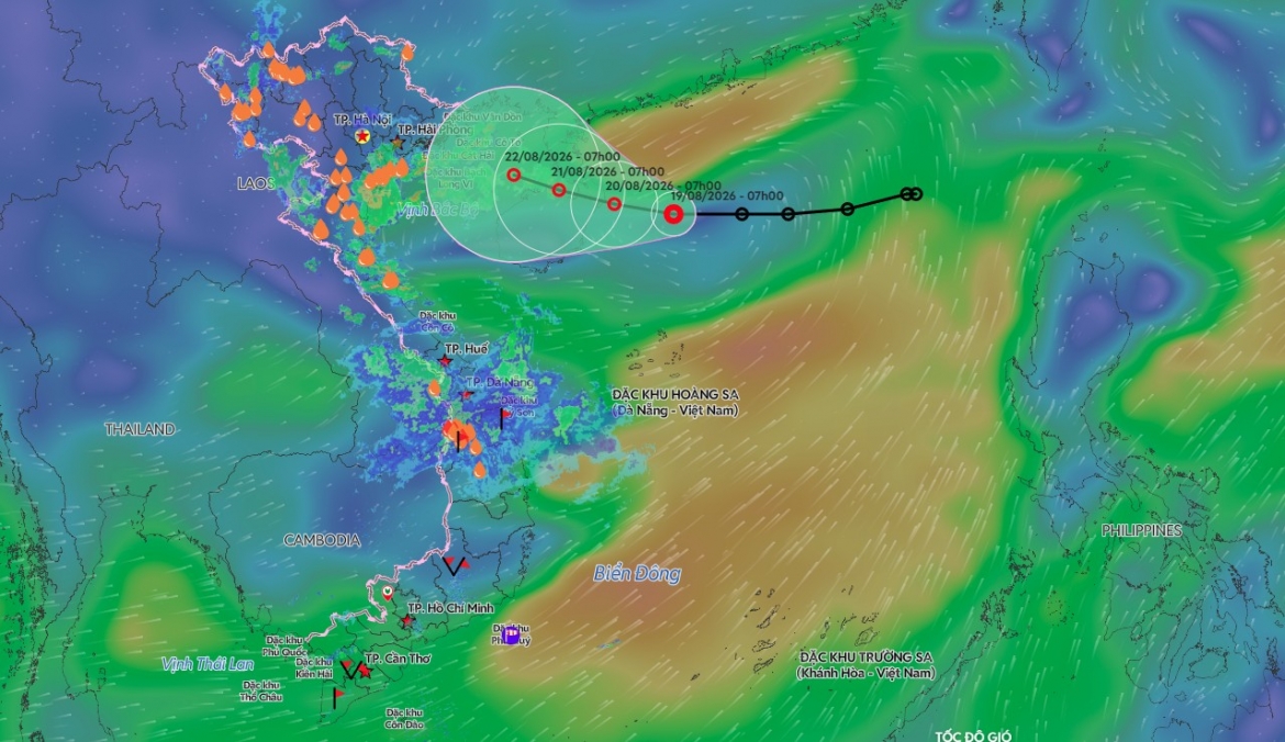
At 7a.m. on August 19, the tropical depression was located over the northern East Sea, about 200km east of Hainan Island. It was moving westward at 20-25 km/h, with maximum sustained winds of around 39-49 km/h and gusts of up to about 60 km/h.
Over the next 48-72 hours, the tropical depression is forecast to slow and move west-northwest at around 5 km/h. Vessels operating in the area could be affected by thunderstorms, tornadoes, strong winds and high waves. The marine forecast confirms the system’s location over the northern part of the East Sea and warns of strong winds and rough seas.
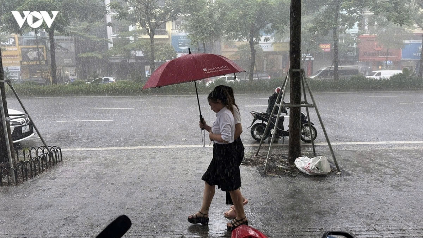
On land, heavy rain is currently the more immediate concern. During the night of August 18 and the morning of August 19, northern localities and areas from Thanh Hoa to Quang Tri provinces experienced moderate to heavy rain, with some locations receiving torrential rain.
Some areas recorded significant 12-hour rainfall, including 217.4mm in Nghe An; 89mm in Thanh Hoa; 79.2mm in Hung Yen; 73.8mm in Lao Cai; and 72mm in Dien Bien.
From August 19 to 20, the Red River Delta and Phu Tho province are forecast to receive 60-120mm of rain, with isolated areas exceeding 180mm. The northern midlands could receive 40-80mm, with isolated areas exceeding 160mm.
In areas from Thanh Hoa to Quang Tri, rainfall is forecast at 70-150mm, with isolated areas exceeding 200mm. The weather agency warned that rainfall rates could exceed 100mm within three hours.
The capital city of Hanoi is forecast to experience moderate to heavy rain and thunderstorms on August 19, with some areas receiving torrential rain.
With large amounts of rain falling over short periods, the risk of flooding is increasing in low-lying areas, urban locations and places with poor drainage. During thunderstorms, residents should also be alert to tornadoes, lightning and strong gusty winds.
Mountainous provinces in northern Vietnam also face heightened risks of flash floods and landslides. After several days of rain, the soil is already saturated, while intense rainfall over a short period could increase the risk of landslides on steep slopes and along rivers and streams.
The National Centre for Hydro-Meteorological Forecasting has warned of flash floods on small rivers and streams, landslides on steep slopes, and flooding in low-lying areas, urban areas and industrial zones.
Heavy rain in the Red River Delta and northern midlands is anticipated to gradually ease from August 21. However, areas from Thanh Hoa to Quang Tri will continue experiencing moderate to heavy rain, with some areas receiving torrential rain.
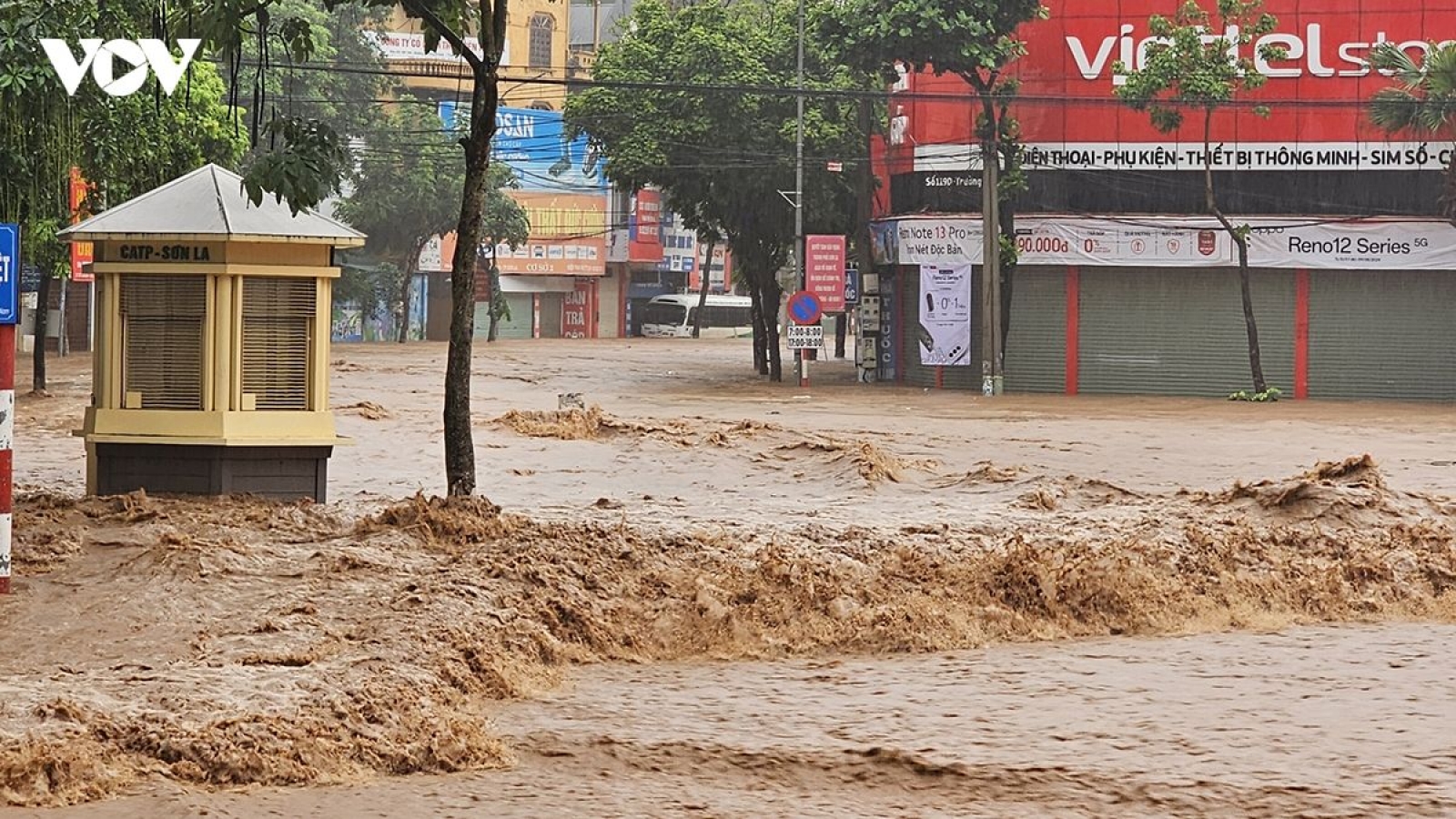
PM orders proactive evacuation as northern Vietnam faces heavy rain, flash floods
VOV.VN - The Prime Minister has ordered a number ò localities and relevant agencies to review high-risk areas and proactively evacuate residents, particularly the elderly, children and other vulnerable groups, as northern Vietnam faces widespread heavy rain through August 21.