

First cold spell of 2025 expected in Northern Vietnam by late September

VOV.VN - The first cold waves of this year’s winter are projected to hit Northern Vietnam by late September, according to the National Centre for Hydro-Meteorological Forecasting (NCHMF).

NCHMF meteorologists said these early waves will be weak, bringing thunderstorms and slightly lower temperatures, creating the characteristic cool autumn weather of the North.
Notably, this year’s cold air is forecast to arrive earlier than usual. Experts warned that in a year with high storm activity, the combined impact of cold air could also trigger complex flooding in central provinces toward the end of the year.
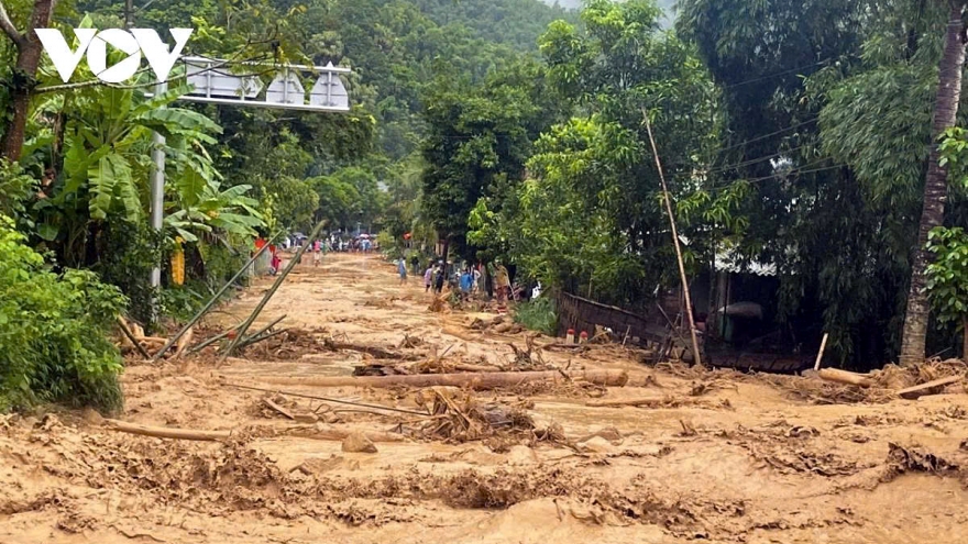
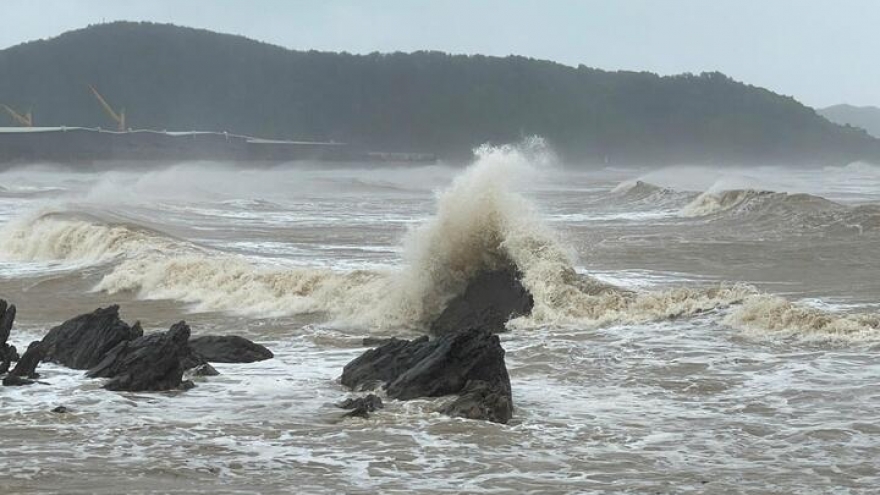
Recent monitoring shows that between August 11 and September 10, Vietnam experienced highly unusual weather with three storms and one tropical depression forming in the East Sea. Typhoon Kajiki brought record-breaking rainfall to Thanh Hoa, while Typhoons Nongfa and Tapah prolonged flooding in the North. At the same time, the Northern and Central regions faced extreme heat, with Hanoi recording over 38°C.
NCHMF experts said average temperatures nationwide next month are forecast to remain close to the long-term average, though the Northern and North-central provinces may see increases of 0.5–1°C. Since the first cold waves will be weak and unstable, they are not expected to cause significant drops in northern temperatures by late September.
From now until mid-October, around two tropical storms or depressions are likely to form in the East Sea, with one potentially making landfall in Vietnam. The Red River Delta and provinces from Thanh Hoa to Quang Ngai could experience widespread heavy rain, with total precipitation exceeding the long-term average by 5–15%.
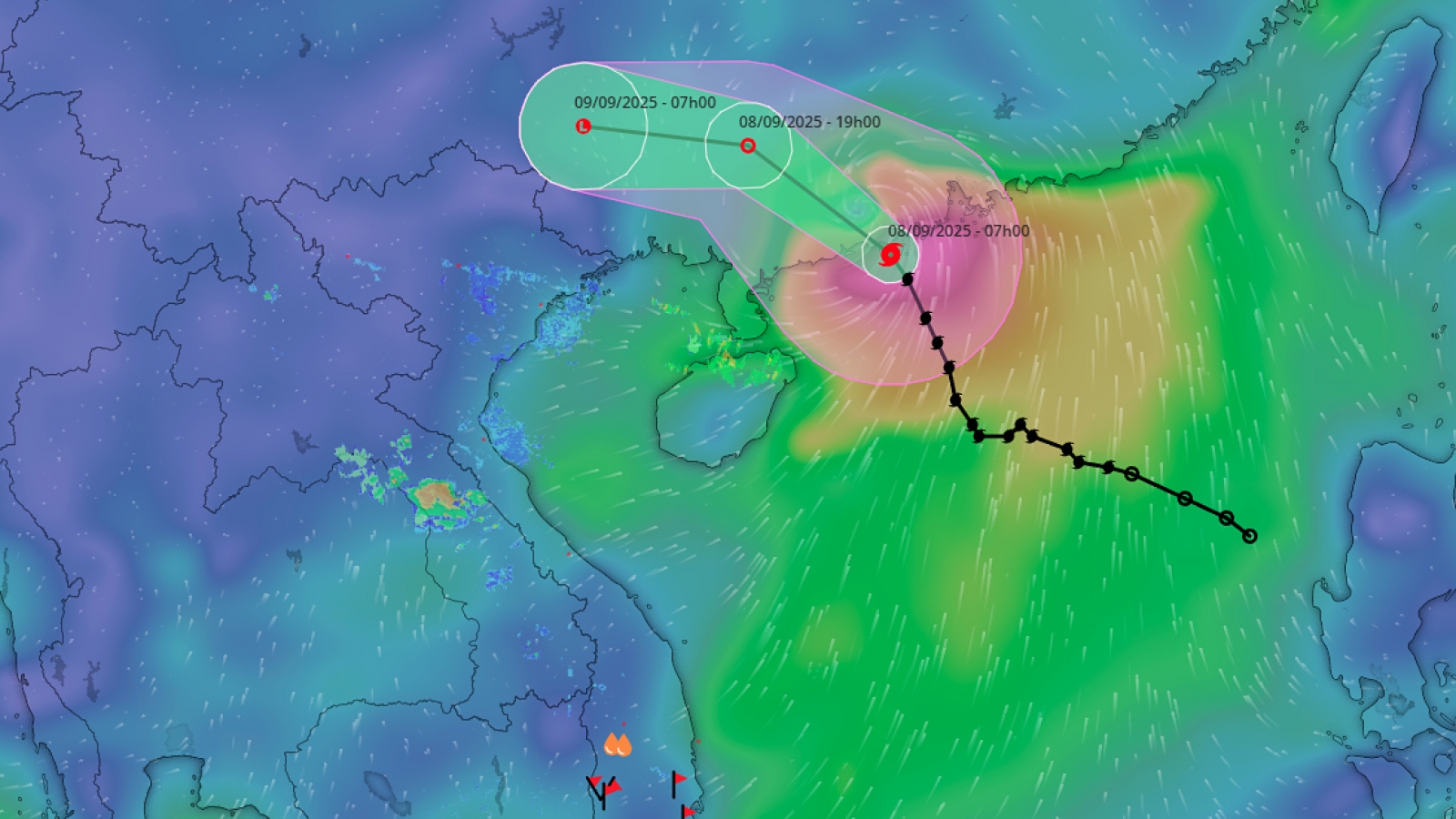
Typhoon Tapah to bring heavy rain to six northern provinces of Vietnam
VOV.VN - Although Typhoon Tapah will not directly pound Vietnam, the low-pressure area to be weakened from it is expected to move westward toward the country, causing a spell of heavy rain in the northern provinces on September 9-10.