


Low-pressure area over East Sea likely to strengthen into tropical depression

VOV.VN - A low-pressure area is active over waters in the eastern part of the northern and central East Sea and is likely to strengthen into a tropical depression within the next 24 hours, according to the National Center for Hydro-Meteorological Forecasting.
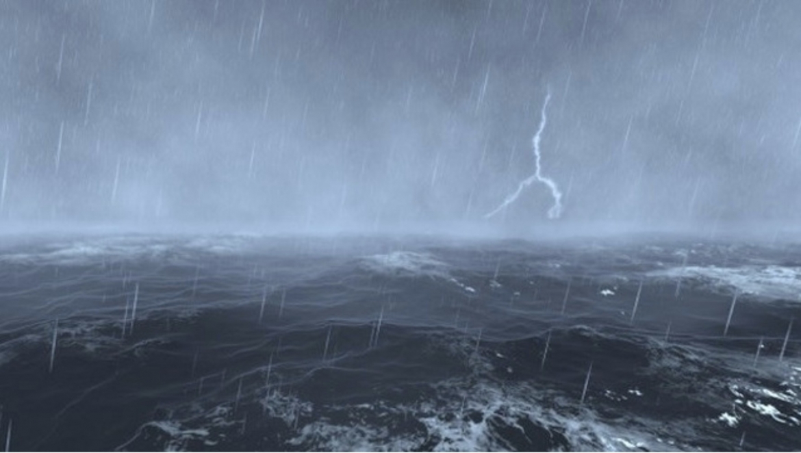
At 1 a.m. on July 1, the center of the low-pressure area was located between 14.5 and 15.5 degrees north latitude and 117.5 and 118.5 degrees east longitude.
Over the next 24 hours, the system is forecast to move west-northwest at a speed of around 10-15 kph and may intensify into a tropical depression.
Under its influence, waters from Lam Dong to Vinh Long, the eastern part of the northern and central East Sea, and the southern East Sea (including the Truong Sa special zone) will see winds gradually strengthening to force 6 (39-49 kph), with gusts of force 7-8 (50-74 kph), rough seas and waves of 2-3 metres.
During the day and night of July 1, the Gulf of Tonkin, waters in the southeastern part of the northern East Sea, the central and southern East Sea (including the Truong Sa special zone), waters from Lam Dong to Ca Mau, from Ca Mau to An Giang, and the Gulf of Thailand are forecast to experience scattered showers and thunderstorms.
The meteorological agency warned that thunderstorms could bring whirlwinds, strong gusts of force 7-8 (50-74 kph), and waves of more than 2 metres.
Relevant agencies have advised all vessels operating in these waters to closely monitor developments of the system and take proactive precautions due to the high risk of strong winds, high waves and hazardous weather conditions at sea.
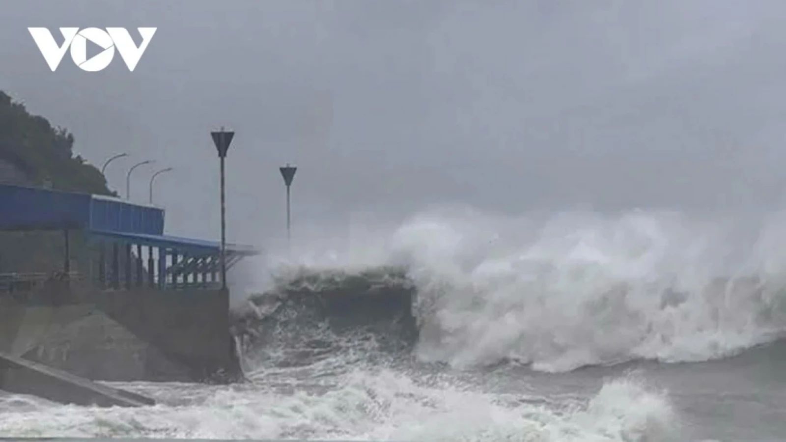
Tropical depression forms in East Sea, marking start of 2026 storm season
VOV.VN - A tropical depression has formed in the northeastern part of the East Sea, becoming the first tropical system of 2026 in the region and signaling the start of this year’s storm season, according to Vietnamese weather experts.
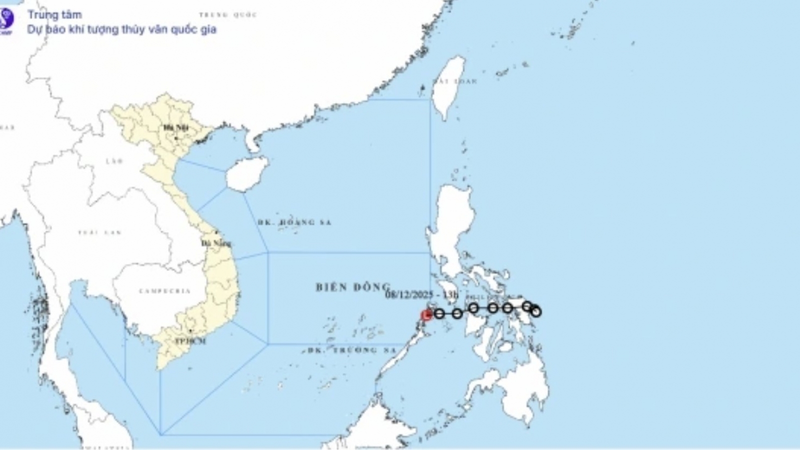
Tropical depression weakens, no longer threatens the sea
VOV.VN - The tropical depression over the central Philippines weakened into a low-pressure area on the afternoon of December 8, the National Center for Hydro-Meteorological Forecasting reported.